
Table of contents:
Introduction
In addition to data uploaded to the portal (orthophoto maps, models, and point clouds), you can also display layers from external WMS and WMTS web services in your project. This allows you to compare your own aerial survey data with, for example, the national orthophoto map, cadastral parcel boundaries, or topographic maps — without downloading or uploading any files. The layer is fetched directly from the service provider’s server in real time. 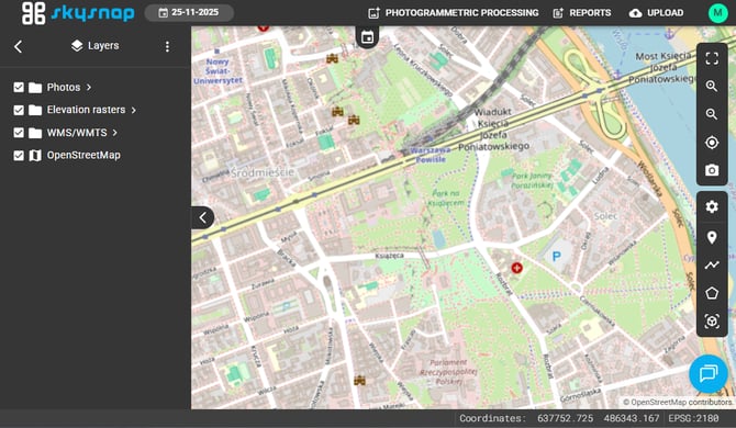
Connecting the service
NOTE: WMS generates a map image on demand for the current view. It offers full flexibility, but it may load more slowly. WMTS serves ready-made, pre-generated map tiles, so it displays faster, but only at fixed scales. From the perspective of connecting the service in the portal, both are handled in the same way.
Step 1. Open the layer connection panel
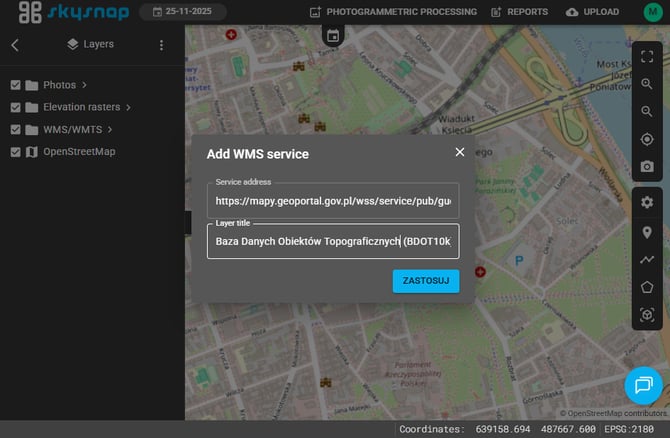
In the layers view, click the three-dot icon to open the panel for connecting WMS and WMTS layers.
Step 2. Enter the service details and select layers
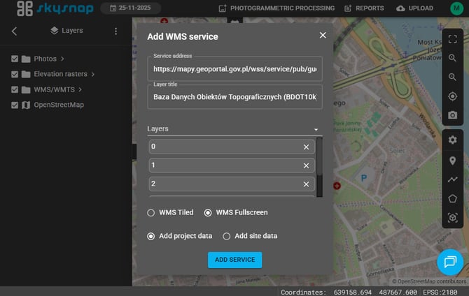
In the panel:
- enter the service link (WMS or WMTS address),
- choose the name under which the layer will appear in the project,
- select the layers from the service that you want to display.
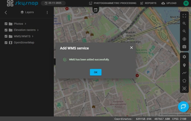
Once confirmed, the selected layers will appear in the project layer list. You can turn them on and off just like any other data.
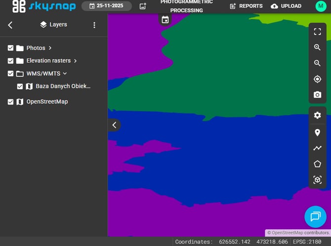
Example WMS/WMTS services
You can connect any publicly available service. Useful examples for Poland include:
- National orthophoto map (Geoportal): https://mapy.geoportal.gov.pl/wss/service/PZGIK/ORTO/WMS/StandardResolution
- Cadastral parcel boundaries (KIEG):
https://integracja.gugik.gov.pl/cgi-bin/KrajowaIntegracjaEwidencjiGruntow - Raster topographic map (BDOO/BDOT): available through the national Geoportal services
You will find the full, up-to-date catalog of WMS and WMTS viewing services provided by Poland's national Geoportal (GUGiK), organized by data category (orthophoto, cadastral parcels, topographic data, administrative boundaries, digital terrain model, and more) with ready-to-copy service addresses, here.
Common issues
The layer does not load — check whether the service link is correct and whether the service requires authentication. Some services may also be temporarily unavailable on the provider’s side.
The layer loads slowly — this is typical for WMS services over large areas. If the provider offers a WMTS version, choose that instead, as it will be faster.
I cannot see the data even though the service is connected — make sure the layer is enabled in the layer list and that your project area overlaps with the service’s data coverage.