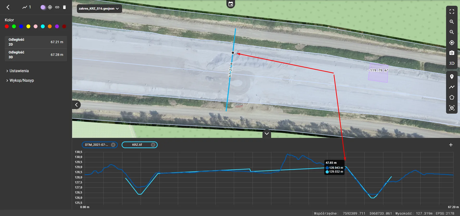
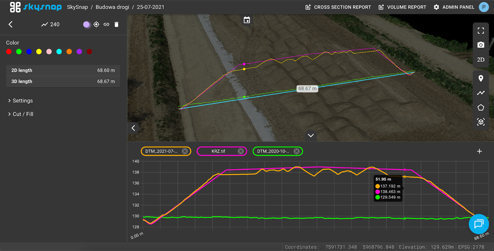
Point visualization on 2D/3D cross-sections and surface visualization in 3D view
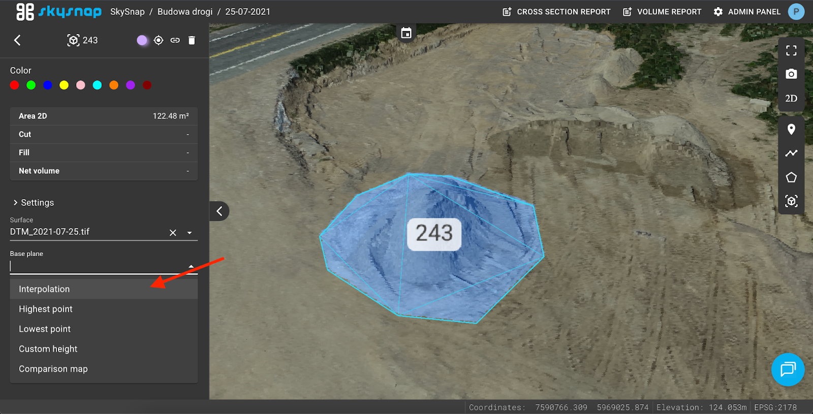
New reference planes for volume calculations in 3D view
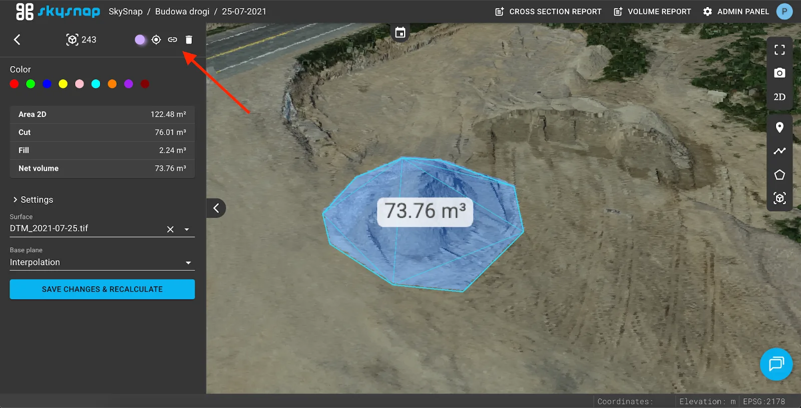
Ability to copy a direct link to a specific measurement in 2D/3D
Preserving the visible area between 2D view and 2D comparison view
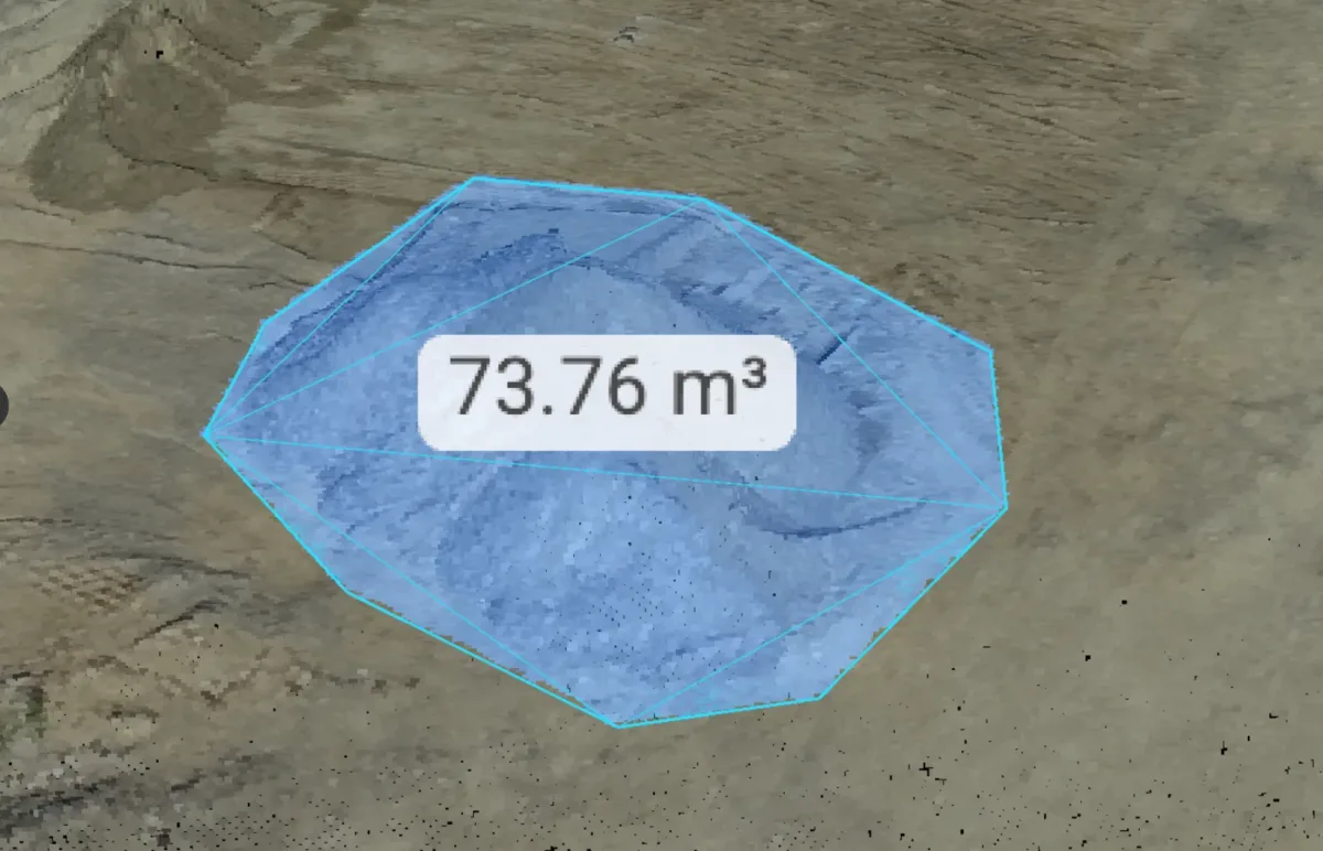
Adding color to the point cloud in volume calculations
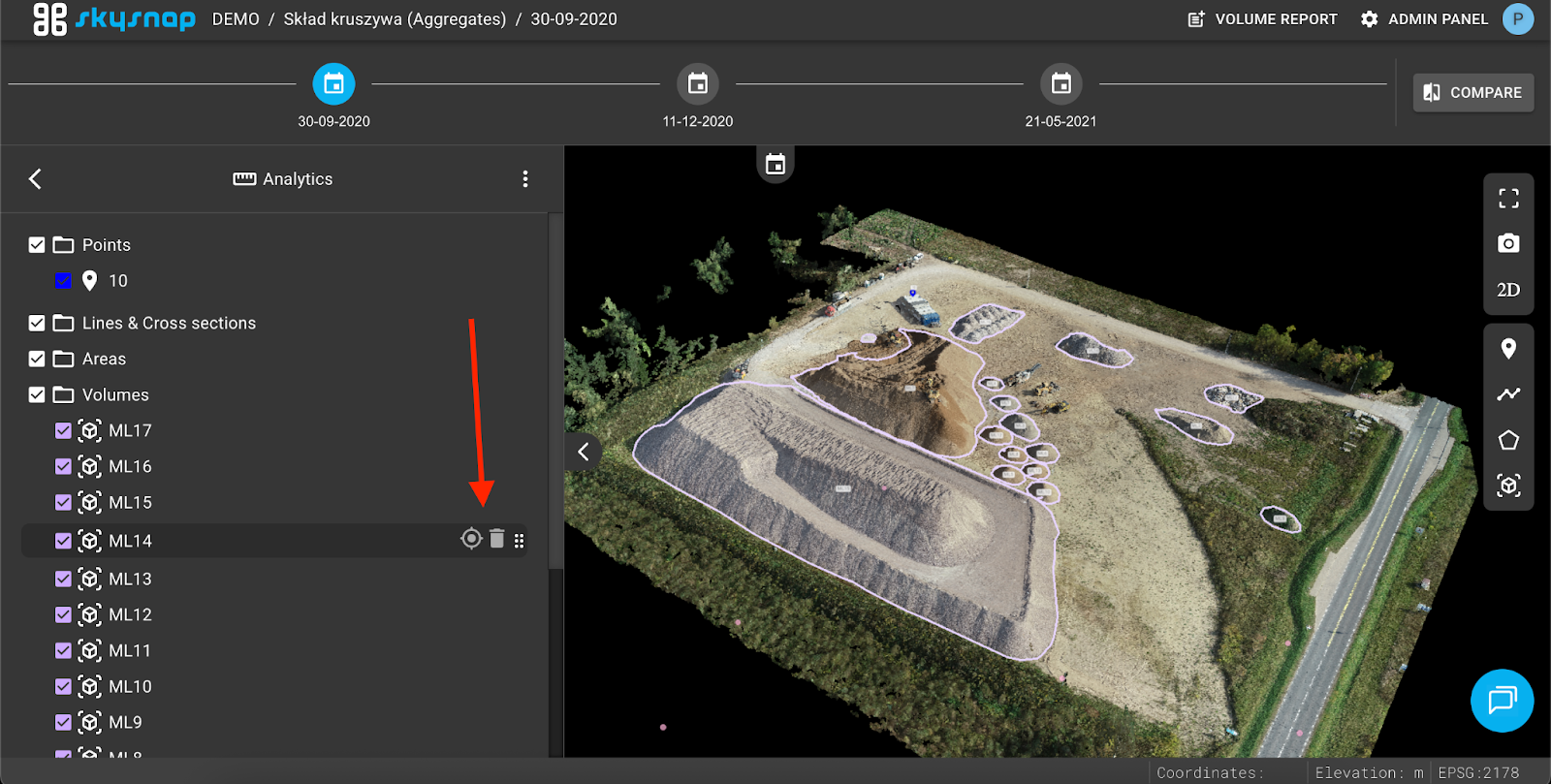
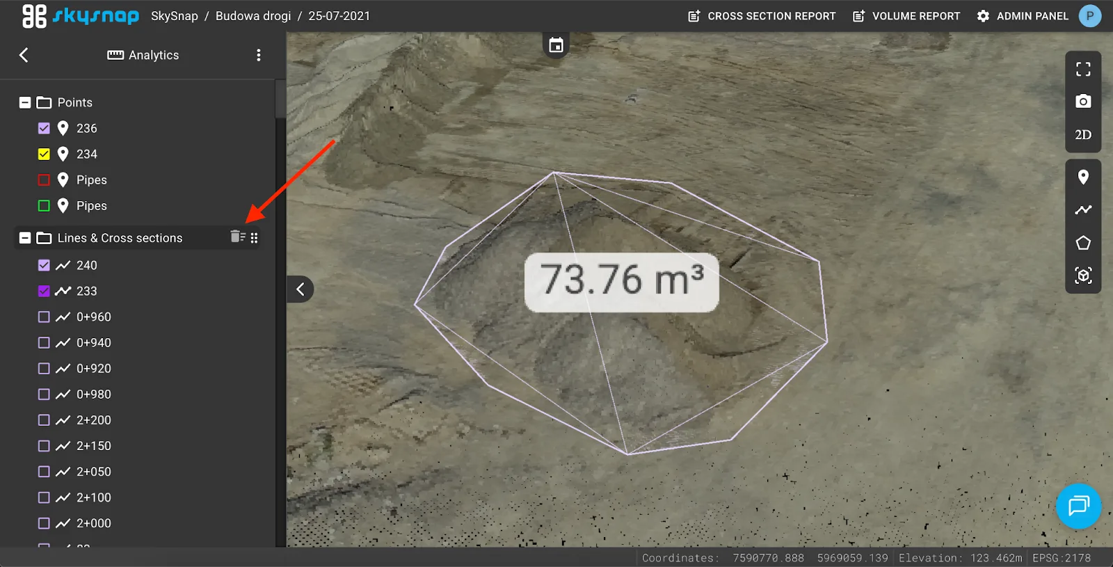
Ability to delete all measurements in a folder
Snapping for measurements and vectors in 2D/3D
Visualization of GIS vector layers and centerlines in 3D view
Keyboard shortcuts for zooming and deleting data from the sidebar
Improvements
The ability to display the selected point on a cross-section in both views, as well as a surface preview in 3D mode, has been added.
The options for selecting the base reference plane when calculating volume in 3D have been expanded.
Each measurement can now be shared using a unique link.
When switching between the 2D view and split-screen mode, the map extent remains unchanged.
When performing volume measurements, point clouds are now displayed in color for better readability.
Users can now delete all measurements located in a selected folder with a single click.
Measurement and vector tools have been equipped with a snapping function, improving precision.
The ability to display GIS vector data and centerlines directly in 3D space has been added.