
Table of Contents:
Loading progress bar in 2D and 3D projects
Default expanded timeline when entering a project
Default folders for organizing data in the sidebar
Combining raster layers into a single item with additional parameters
Separation of predefined colors in layers and measurements
Volume calculation relative to a reference plane using all elevation data from the investment
Sharing raster CAD data via WMS
Synchronized point cloud loading in split 3D view
Improved 3D navigation in split view
New 3D navigation without the need to snap to the point cloud
Displaying mouse cursor coordinates in 3D
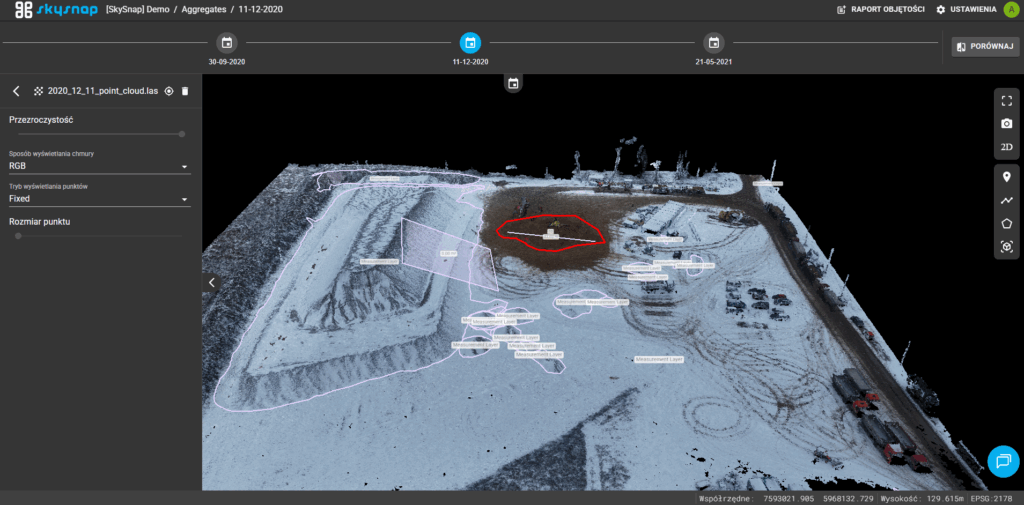
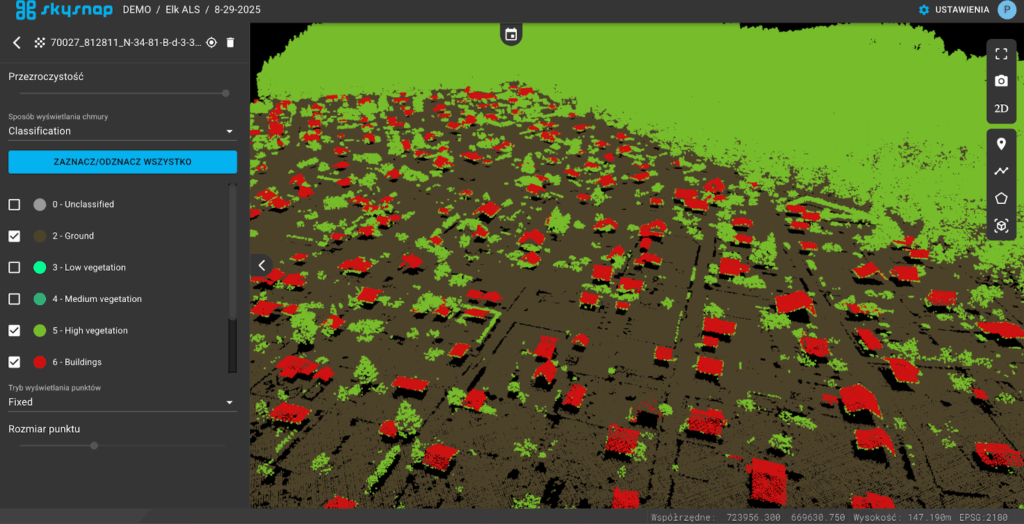
Adding an option to display point clouds in the layer list and manage point cloud properties
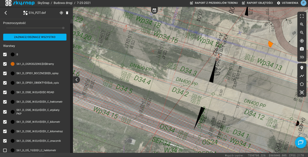
Support for a new data type – CAD vector layer (DXF format support)
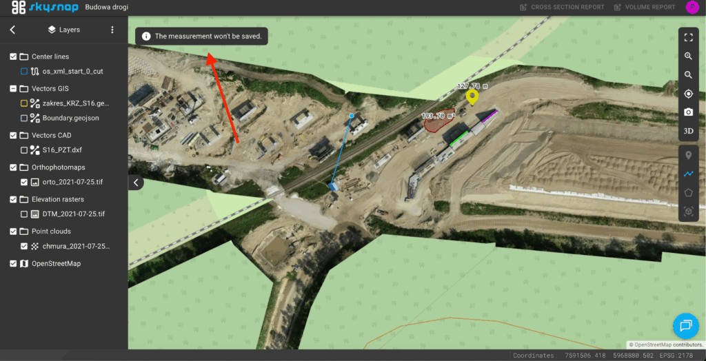
The viewer role can add temporary (unsaved) measurements
Copying and sharing a link to a specific location on the map (works in 2D)
Redirecting to login when opening a shared link without being logged in
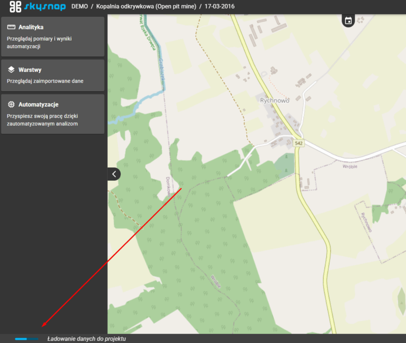
A visual progress bar has been added to show data loading in both project modes.
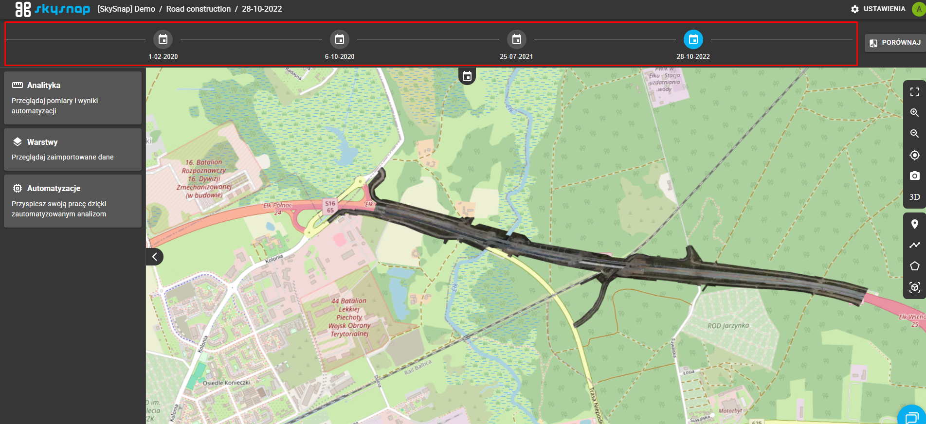
The timeline now expands automatically when entering a project, making time-based data easier to access.
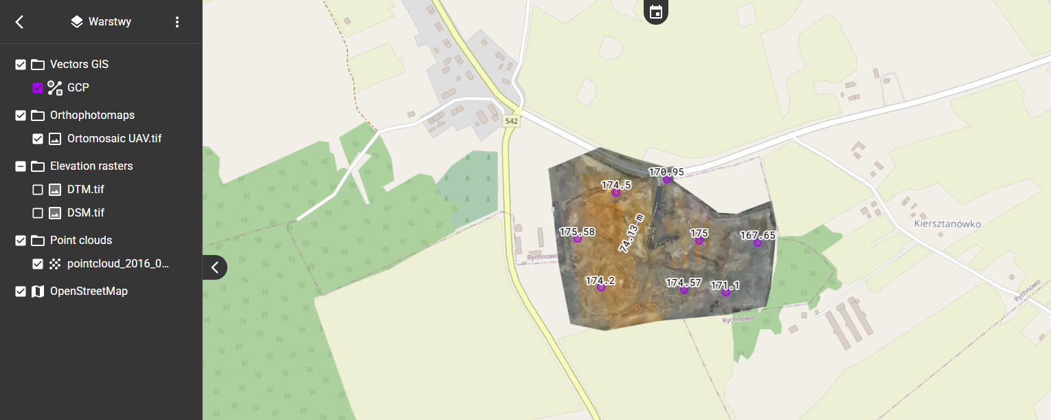
Default folders named “Layers” and “Analytics” have been added to organize data on the left side of the interface.
Raster layers have been combined into a single object with the option to configure additional parameters.
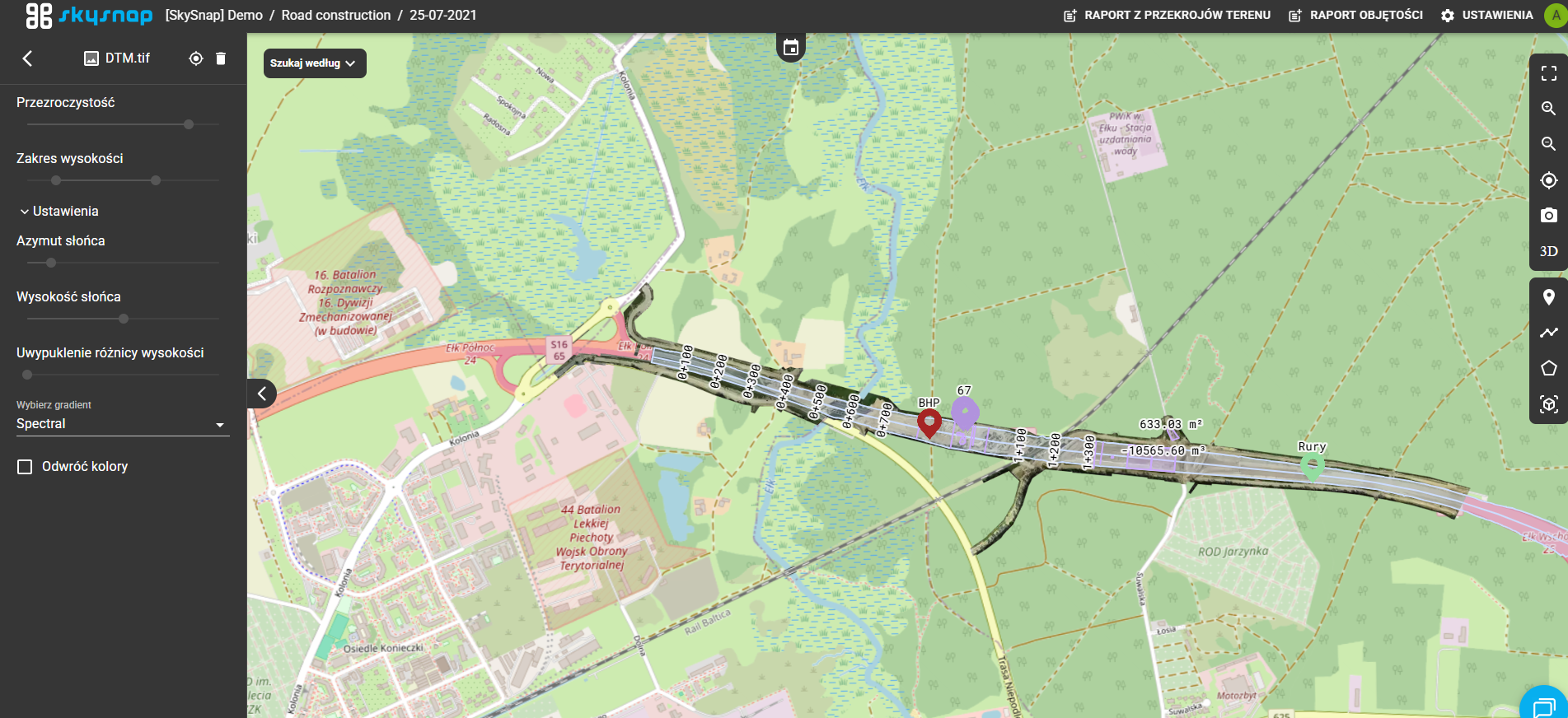
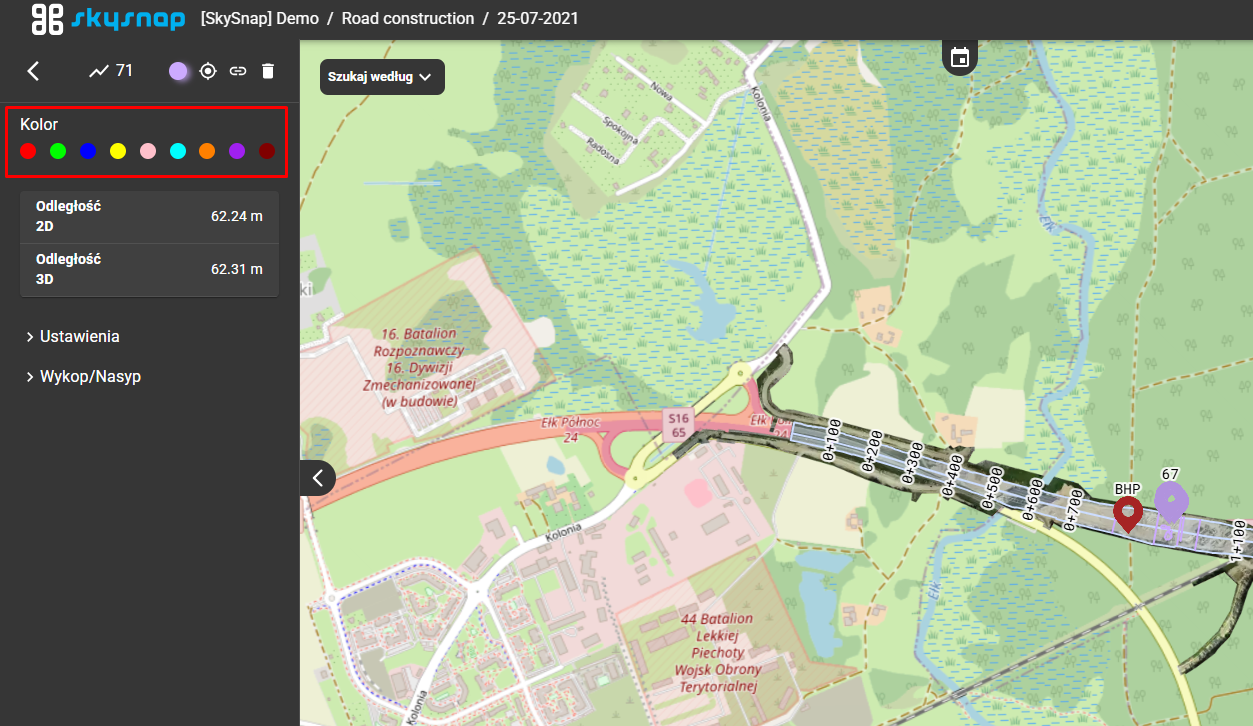
Predefined color sets have been added for use in layer and measurement settings.
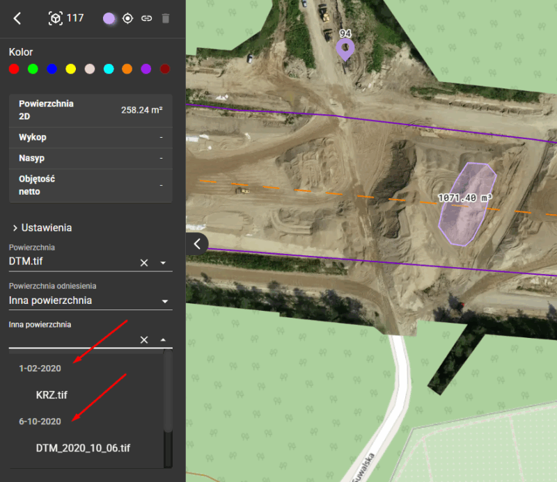
Volume calculations now take into account data from the entire investment project.
Point cloud loading time has been improved through synchronized loading.
Navigation in 3D mode has been improved, offering smoother performance.
Moving through 3D space no longer requires setting a reference point on the point cloud.
The 3D view now includes a dedicated sidebar for faster access to tools and data.
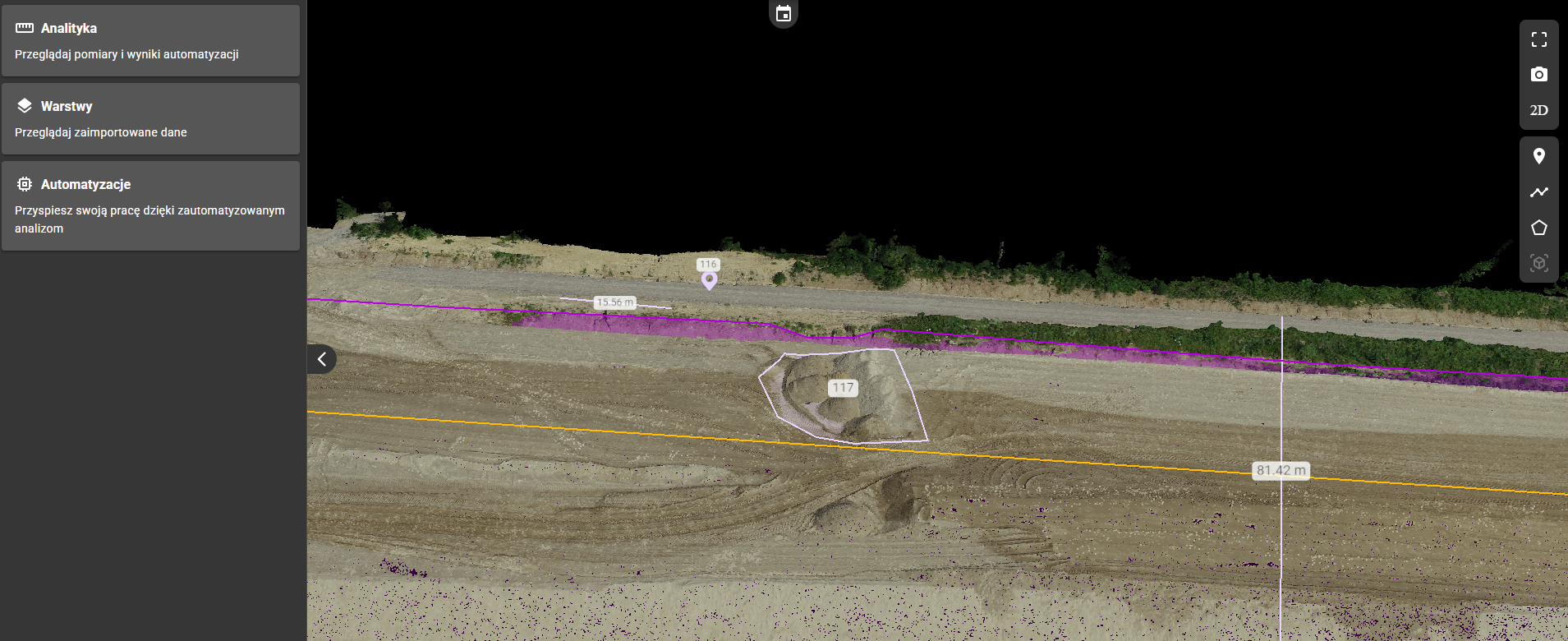
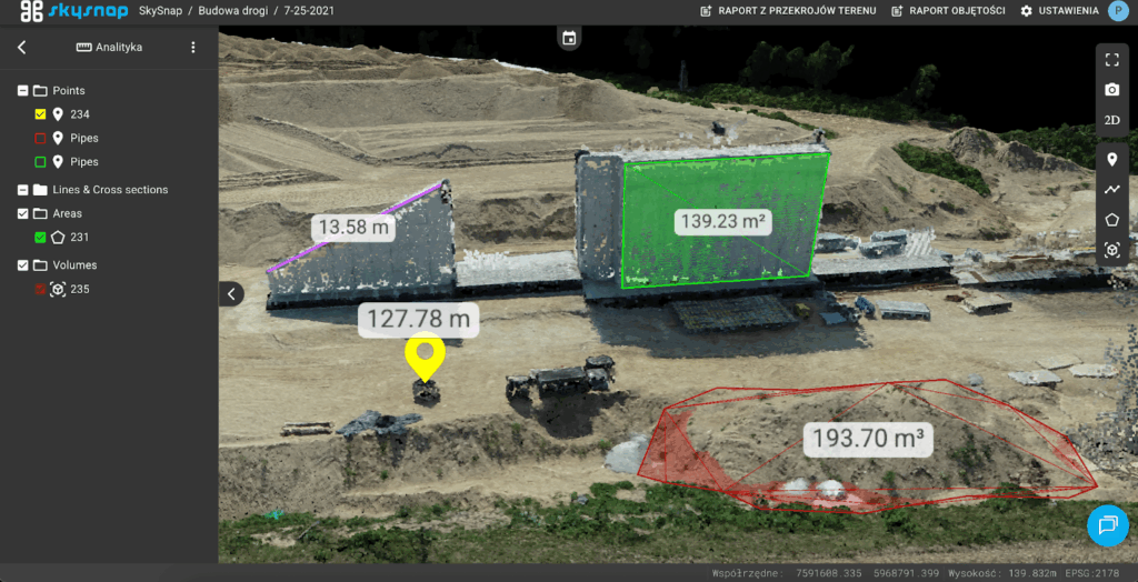
Point, line, surface, and volume measurements are now also available in 3D view.
It is now possible to track mouse cursor coordinates in 3D space.
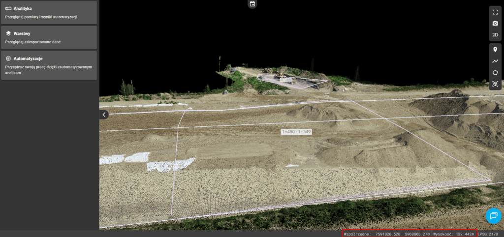
Point clouds now appear in the layer list, with the ability to manage their properties.
The portal now supports importing and displaying CAD data in vector format (DXF).
Users with the viewer role can now temporarily add:
-
points (without geochat),
-
lines (without cross-sections),
-
surfaces (without volume calculations).
The link includes location coordinates and allows a specific place to be shared quickly.
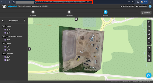
An unauthenticated user is automatically redirected to the login page and then returned to the opened link.