
Table of contents:
Resizing the properties window for .IFC file elements
Managing photographs in the photo table
Email notifications about import status
Notice about changes in .DWG file support
Selecting projects for comparison in 2D and 3D view
Permissions for annotation management
Map view optimization when adding pins in the mobile version
Map view optimization on the organization homepage
Improvements
Compass in the project view
A compass has been implemented in the project view, activating automatically when the map is rotated. A button appearing in the upper-left corner of the interface allows users to quickly restore the north orientation with a single click.
The ability to freely resize the properties window displayed after selecting a .IFC file element has been introduced. This allows users to view a greater number of parameters and object details.
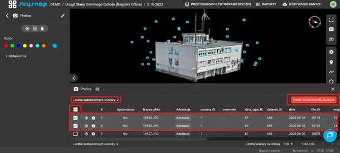
Both bulk and individual photo selection for deletion from the table have been enabled. An additional counter of selected rows makes it easier to control the process of managing the collected data.
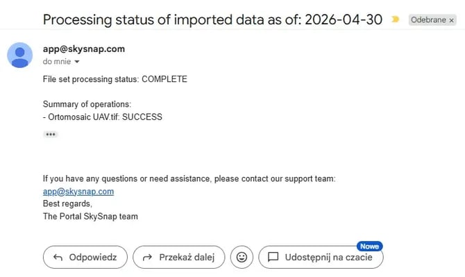
An email notification system has been implemented to inform users about the status of file imports. After the data upload is completed, the user will receive a return message at the email address associated with their portal account.
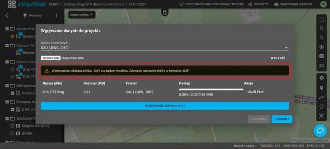
Information has been added to the “Data Upload” tool about the planned end of support for the .DWG format, along with a recommendation to use the .DXF format.
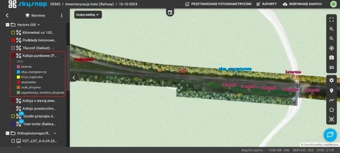
Legends have been introduced for vector layers whose symbology is based on attribute classification. The legends are displayed in the left sidebar directly below the name of the given layer.
It is now possible to select projects for comparison within a single site. The user can indicate the main project and the reference project. By default, the system treats the currently displayed project as the main project and the chronologically older one as the second project.
A division of permissions for editing and managing annotations has been introduced, depending on the user’s role in the portal. The detailed scope of available actions is presented in the table below:
|
Operation |
Admistrator | Manager | Editor | Viewer |
|
Add |
YES | YES | YES | NO |
| Modify | YES | YES | YES | NO |
| Delete | YES | YES | YES | NO |
Map view optimization when adding pins in the mobile version
The map behavior on mobile devices has been improved when adding a pin with the user’s location. The view centers on the added pin while preserving the current zoom level.
The visible area has been better adjusted to the locations of sites within the organization. This has improved readability and ensured full exposure of the data.