Table of contents:
Improvements
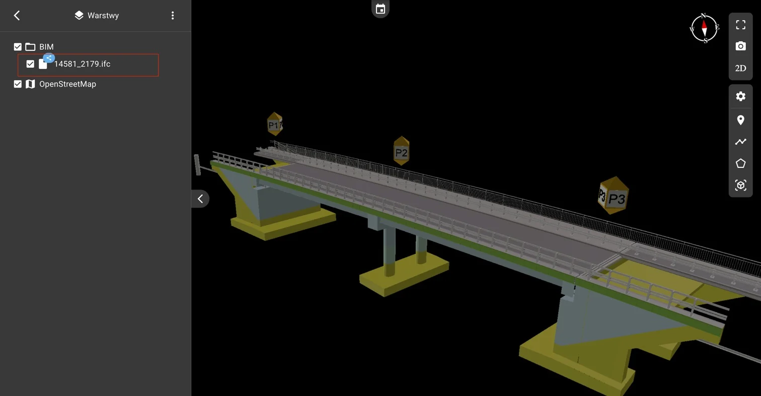
Support for BIM (.IFC) models at the site level
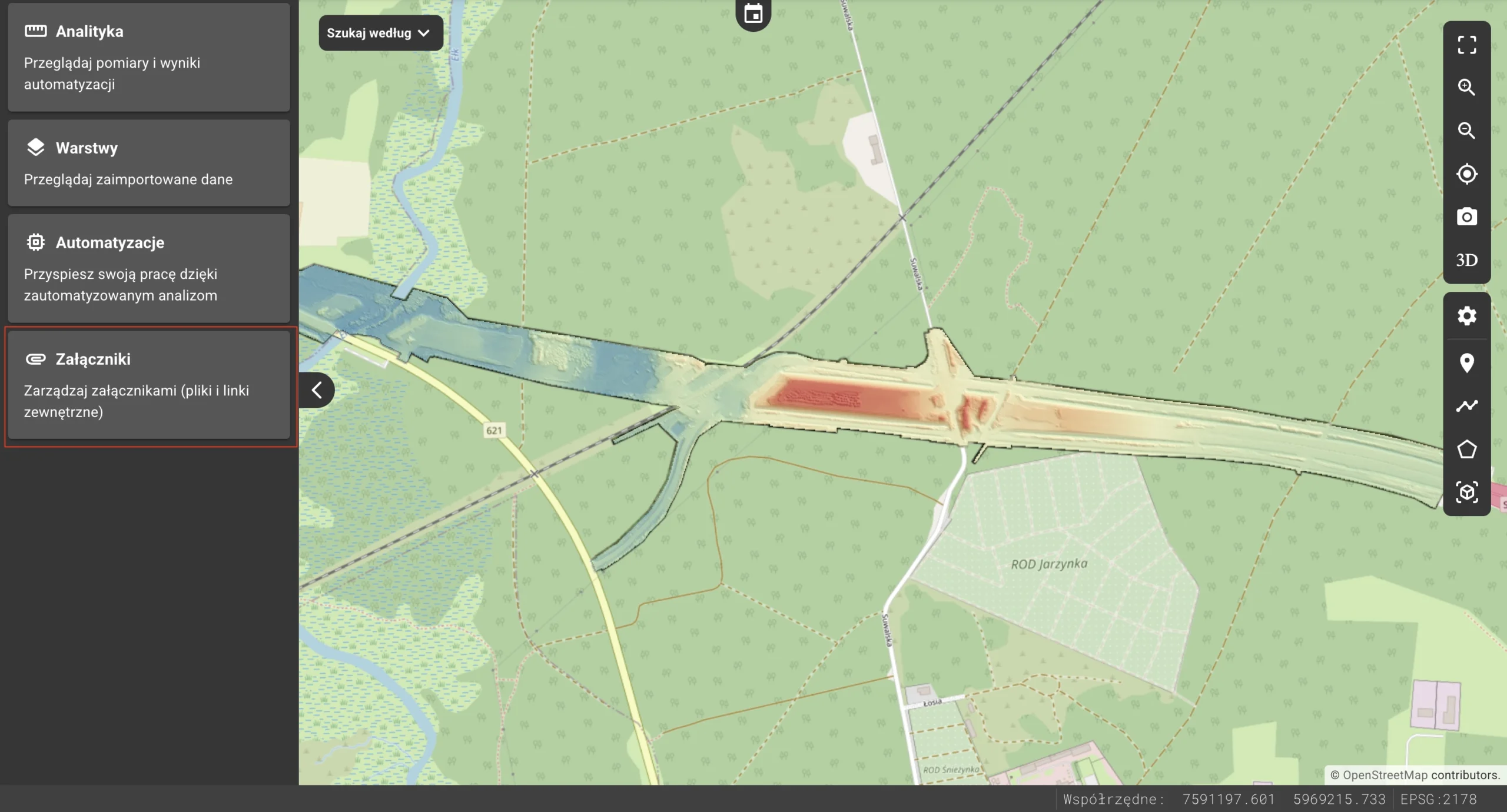
New space for attachments and links
Adding private or public measurements
Organizing measurements in folders
Added support for inspection reports
Mass and density in volume calculations
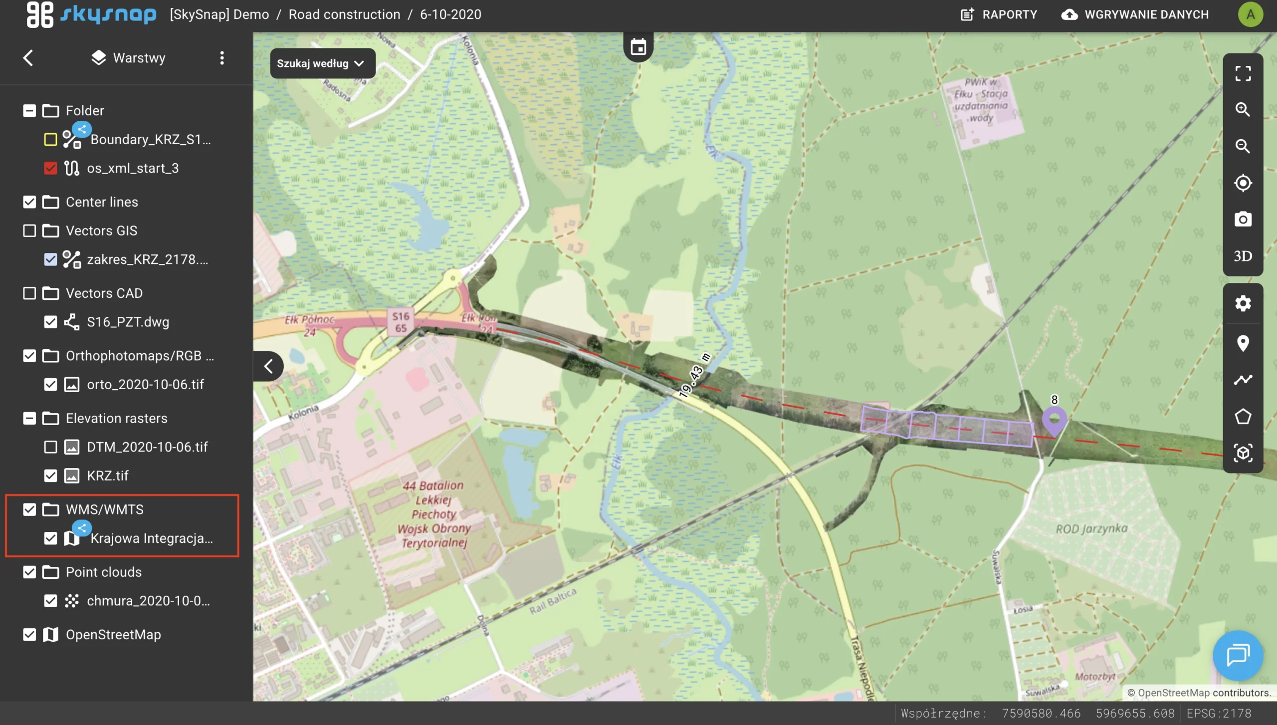
Added the ability to attach WMS/WMTS services to a site
Notification and marking system
Popup for selecting overlapping elements
Relocation of the Administrator Panel
Support for IFC files as shared files at the site level has been introduced. As a result, project models are visible and available in every project within a given site.
A feature for attaching non-geospatial files and external links has been added. They can be added directly to a project or at the site level.
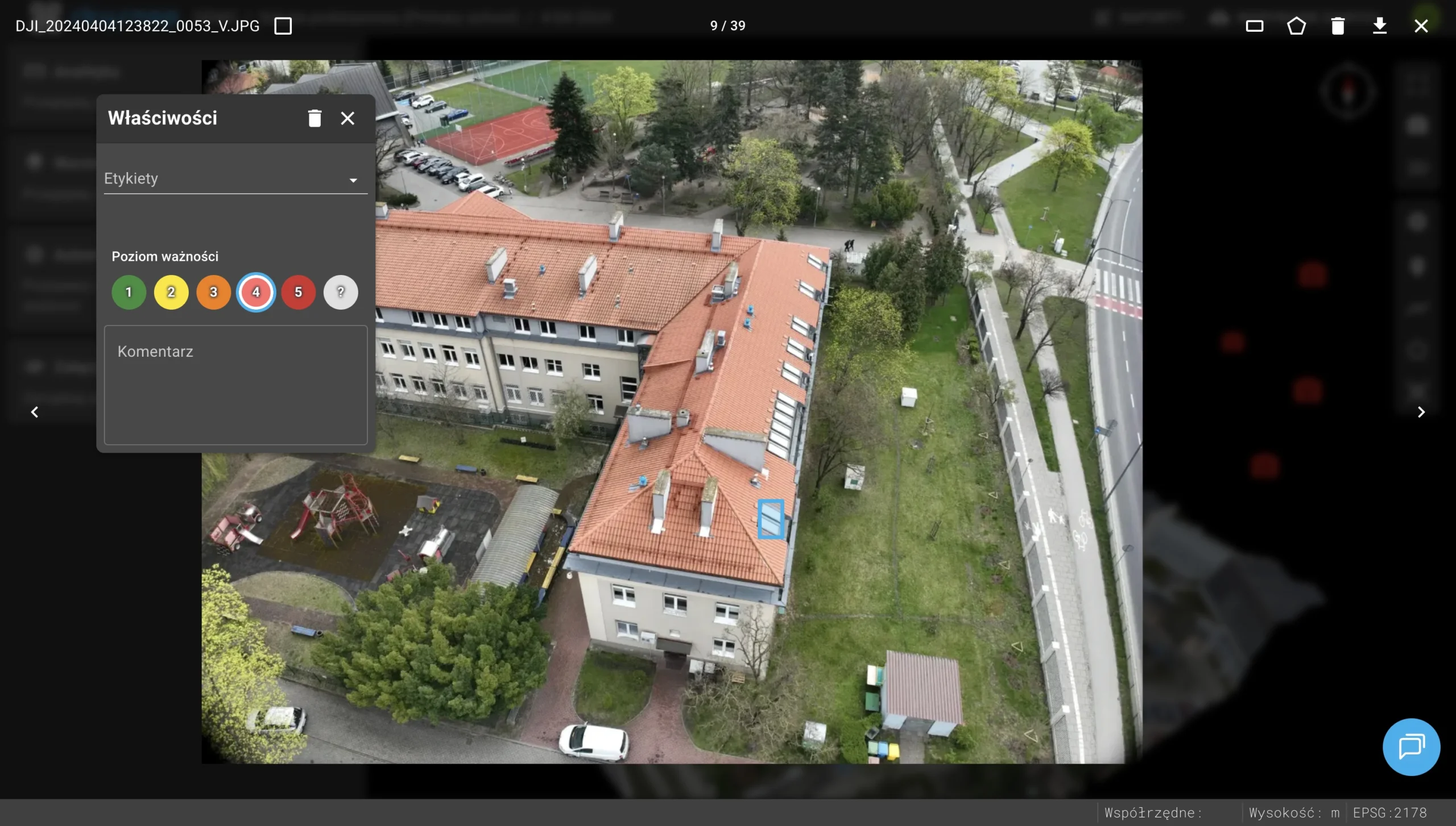
Tools for managing annotations in photo properties have been introduced. Users can now add comments and markings to photographs, which significantly improves the inspection documentation process.
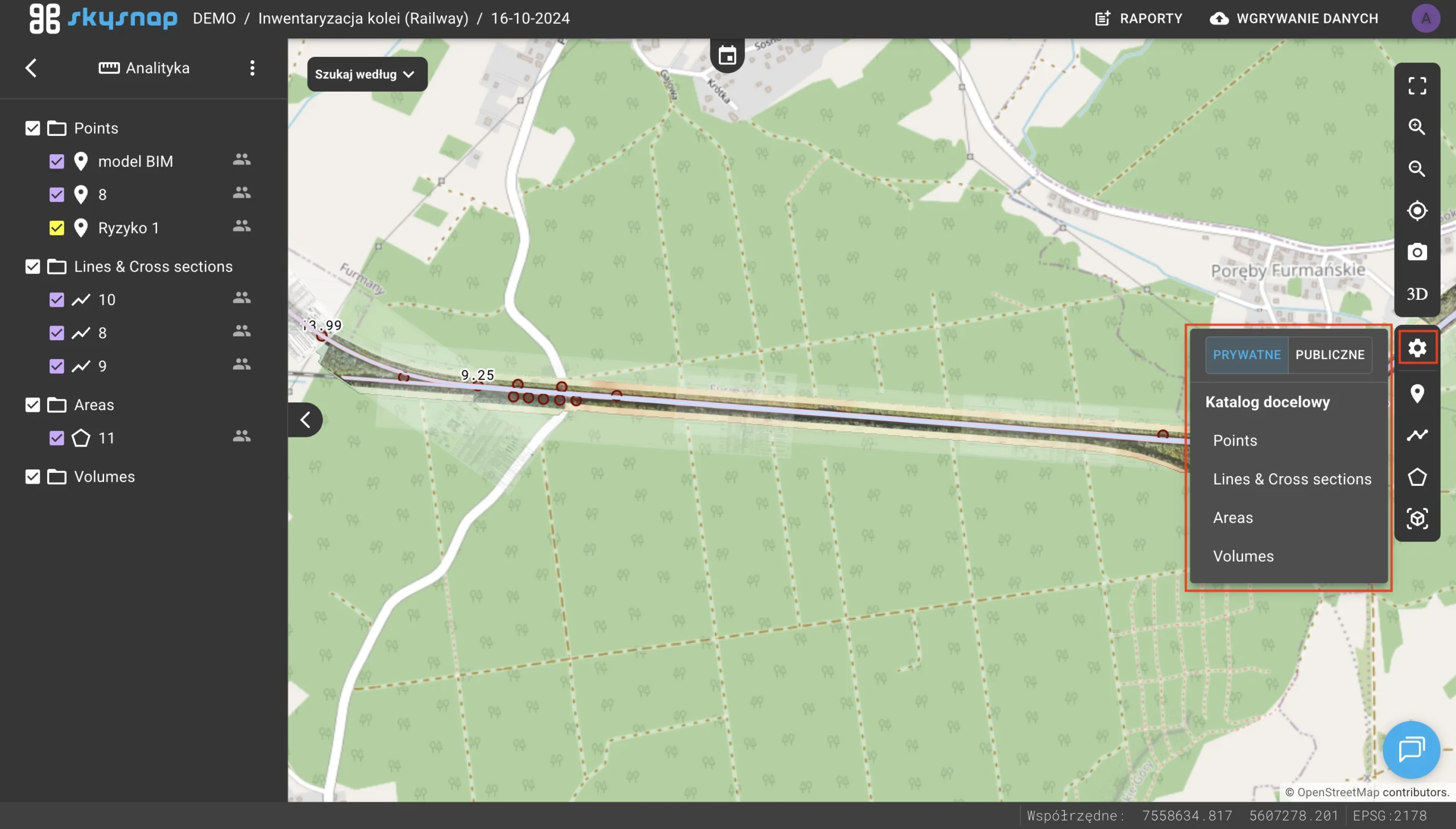
A measurement visibility selection feature has been added — the user can decide whether a given object is visible only to them or to everyone.
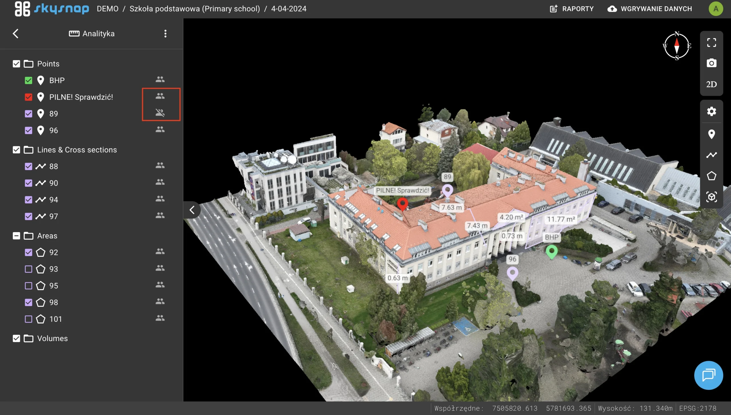
The ability to assign measurements to dedicated folders has been introduced, allowing for a better data structure within projects.
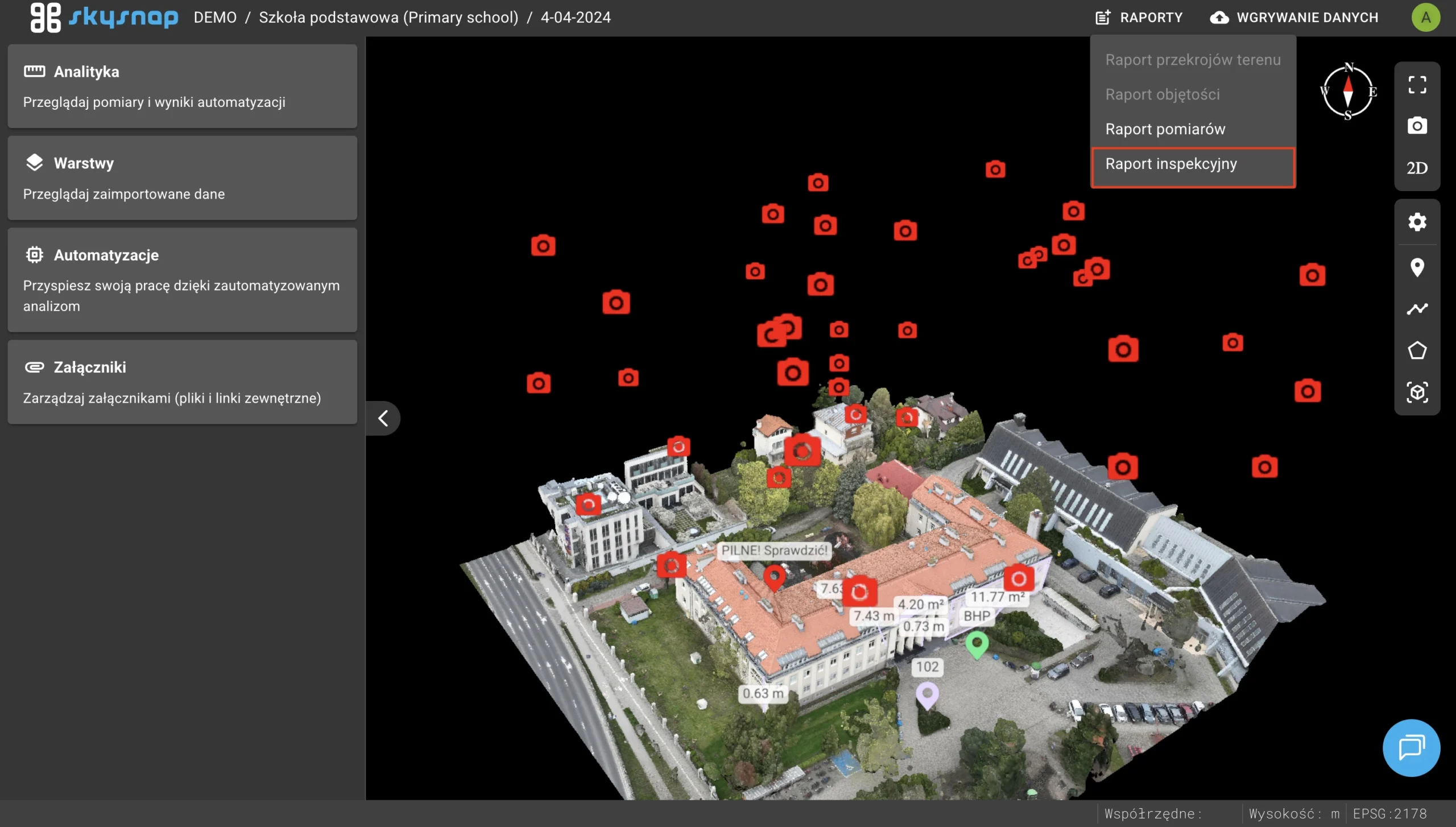
Full support for generating and viewing professional inspection reports has been introduced.
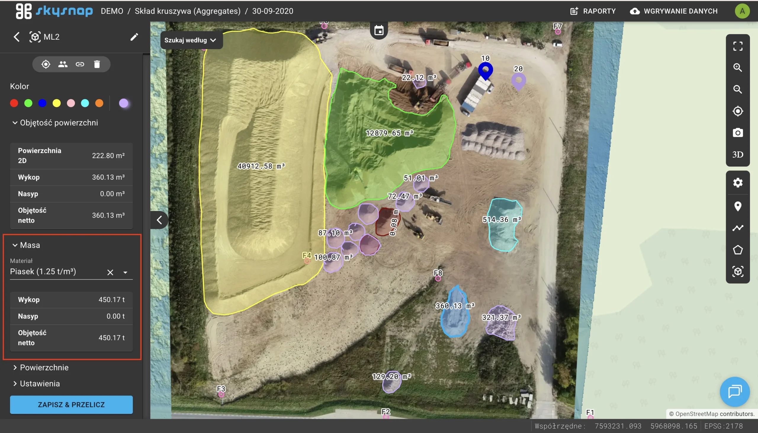
A material dictionary with density values has been introduced. The system automatically converts volume into material mass, and the volume report has received a refreshed graphic layout.
An option to attach external WMS and WMTS map services directly at the entire site level has been added.
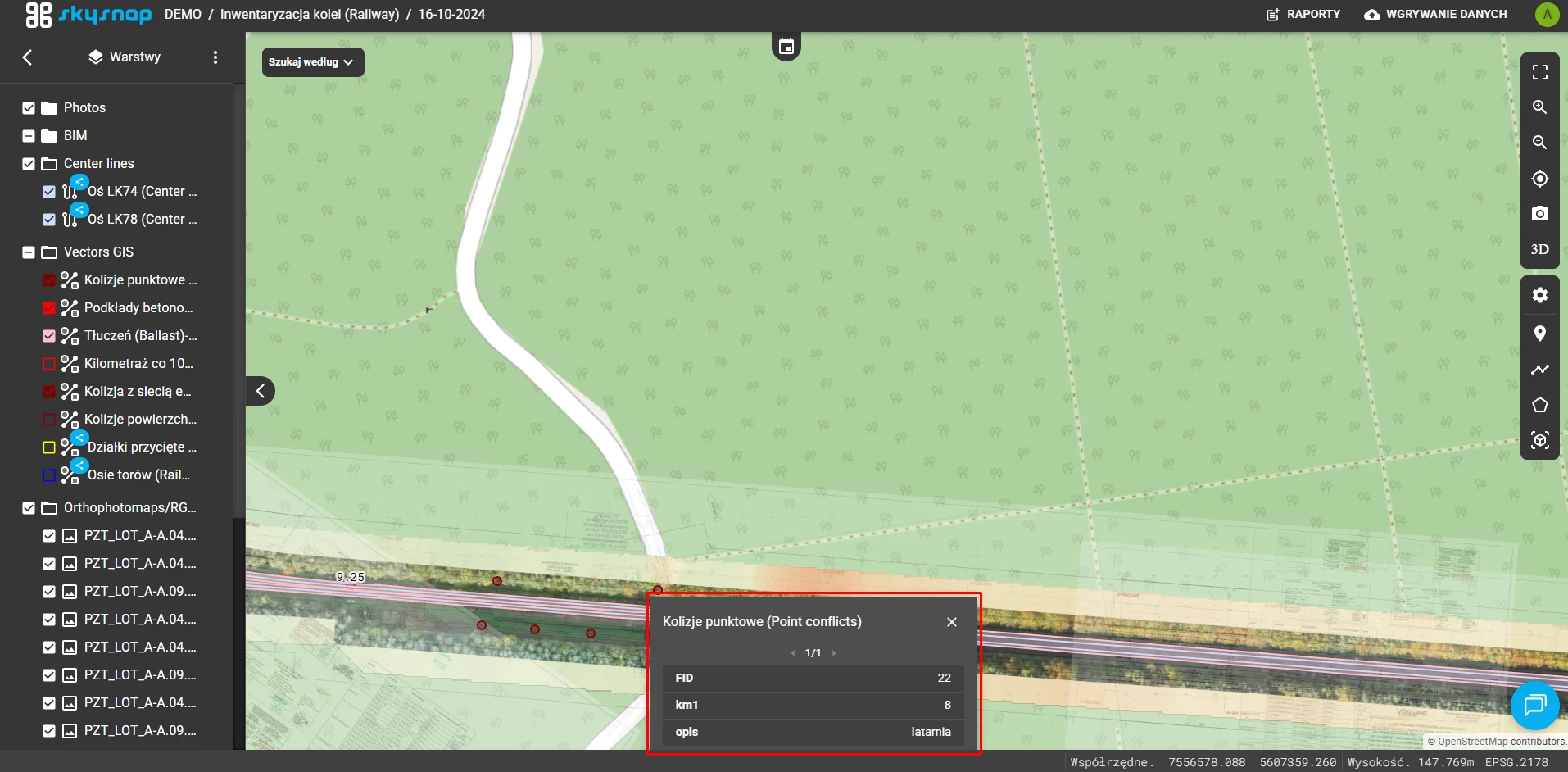
After clicking a vector object on the map, a list of its descriptive attributes is now displayed.
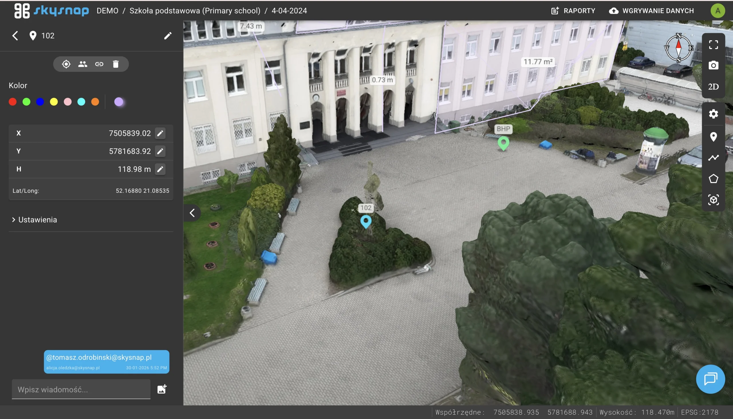
The ability to tag users on chat pins has been added, along with automatic email notifications about the tag.
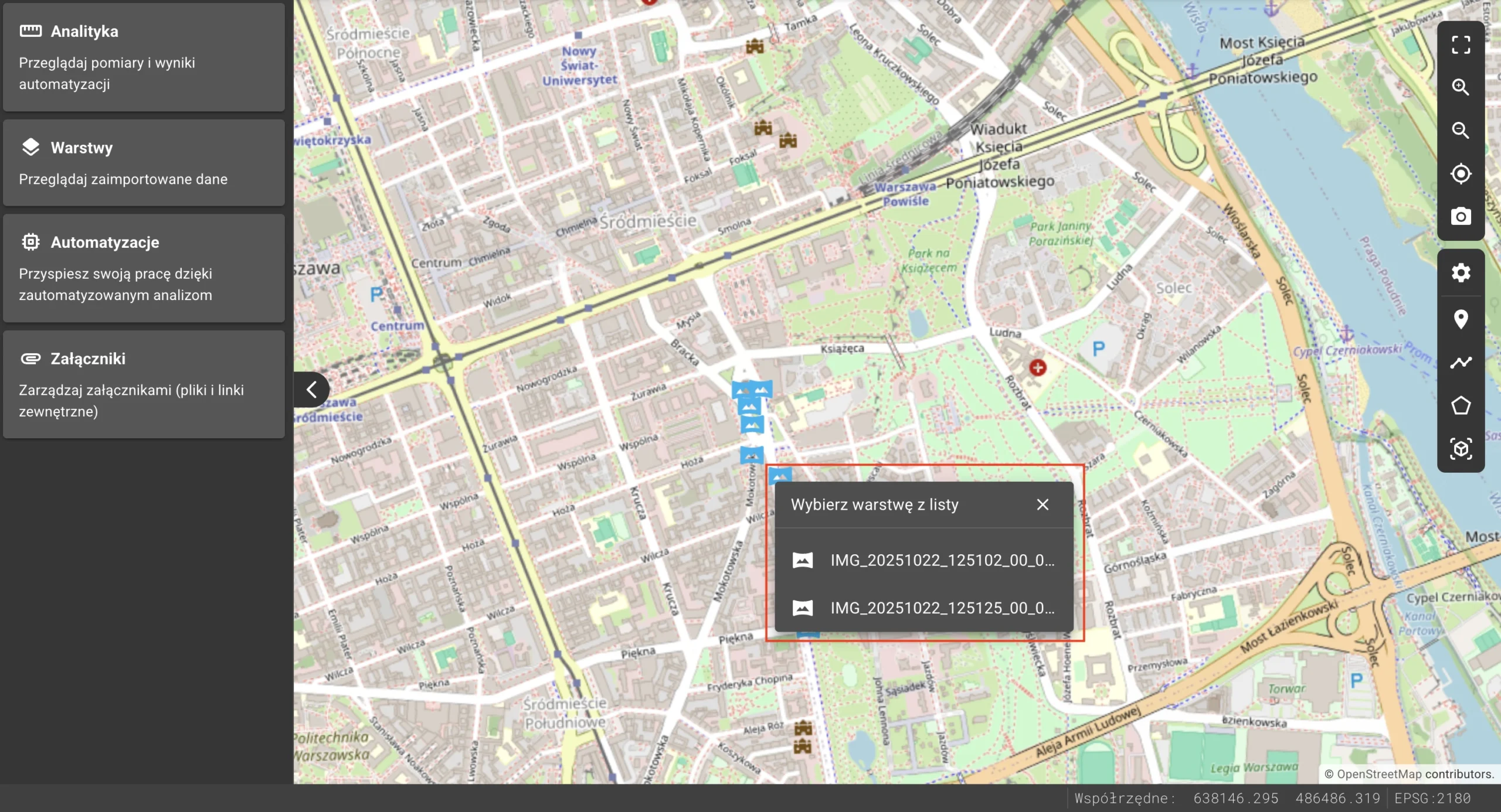
An intelligent selection window has been introduced for overlapping photos, allowing precise selection from the list by name.
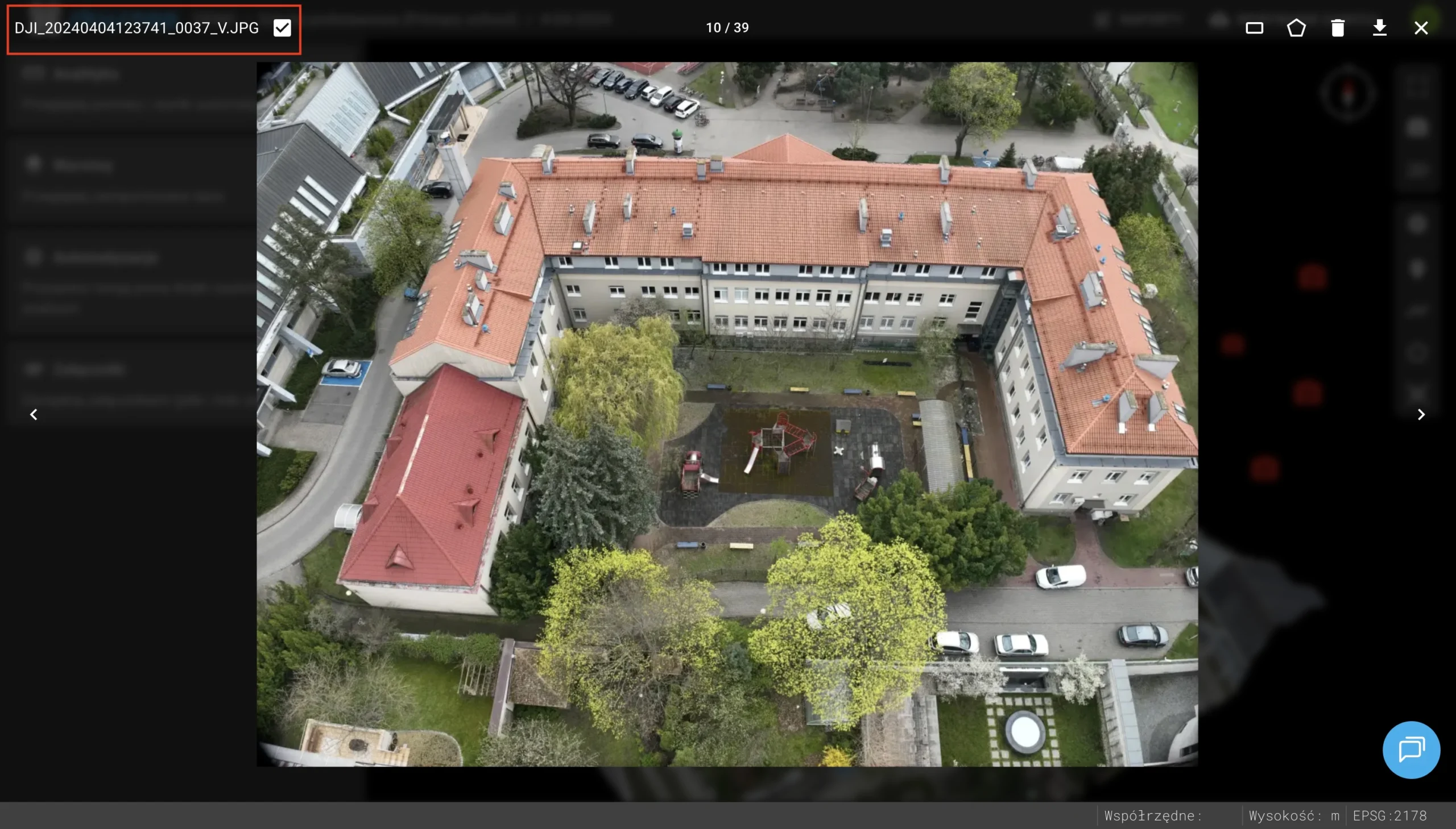
A function for visually marking photos as “reviewed” has been added, making it possible to track work progress on an ongoing basis and avoid duplicating tasks.
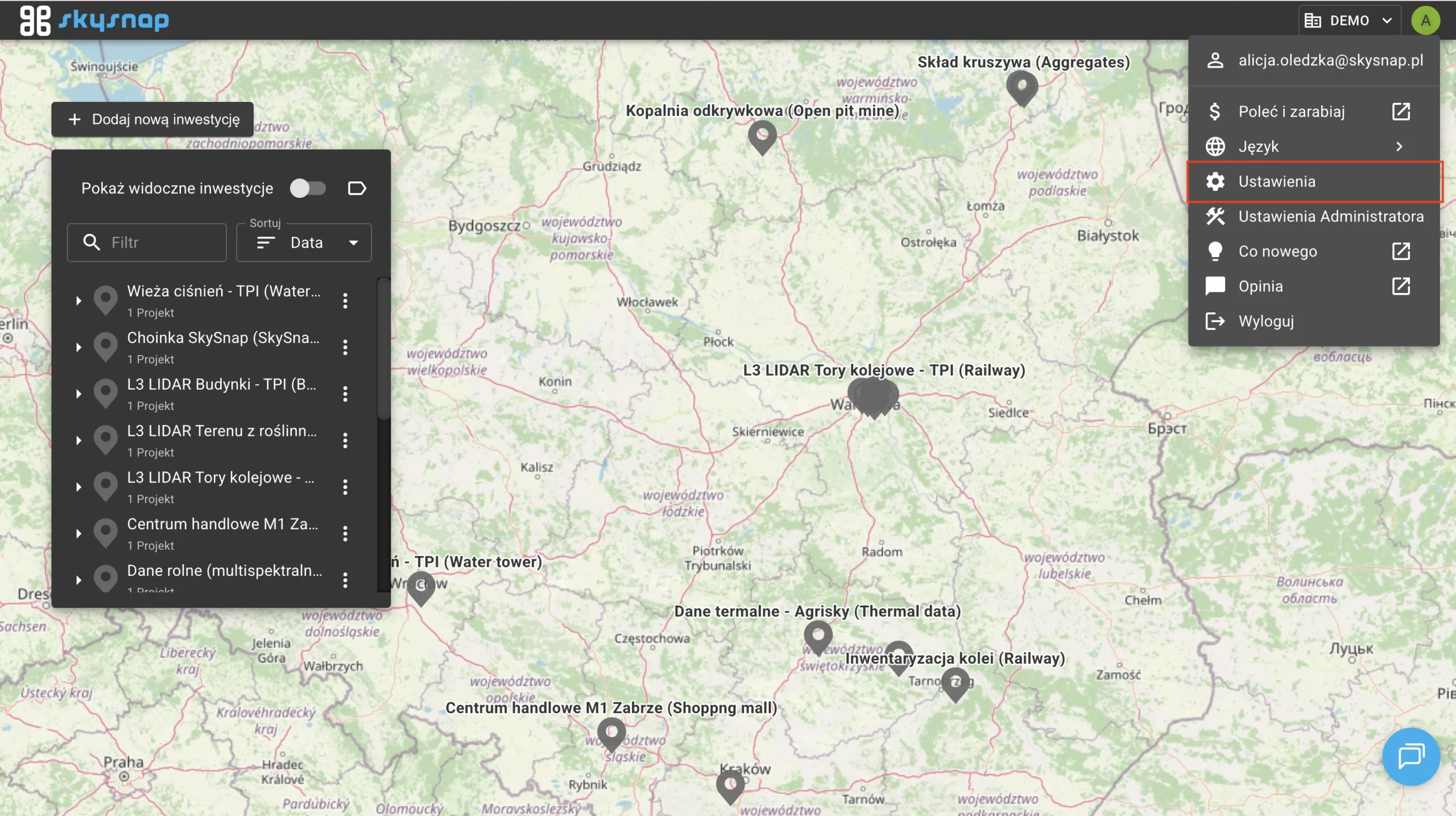
The Administrator Panel has been moved under the user avatar. All existing functions are now available directly in the Portal.