
Table of Contents:
Change to the Organization Selector Location
Logo as Report Personalization
Editing Coordinates and Elevation in Pins
Interactive Snow and a Virtual Christmas Tree
Support for visualizing and interacting with mesh models in the 3D view has been introduced. Users can now load and browse high-resolution terrain and object models obtained, for example, from photogrammetry, significantly expanding the possibilities for spatial analysis and inspection.
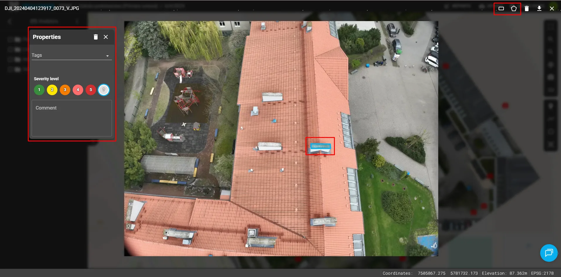
A new feature has been added that allows users to add annotations directly to photos in a dedicated view. This makes it easier to quickly mark points of interest and submit comments.
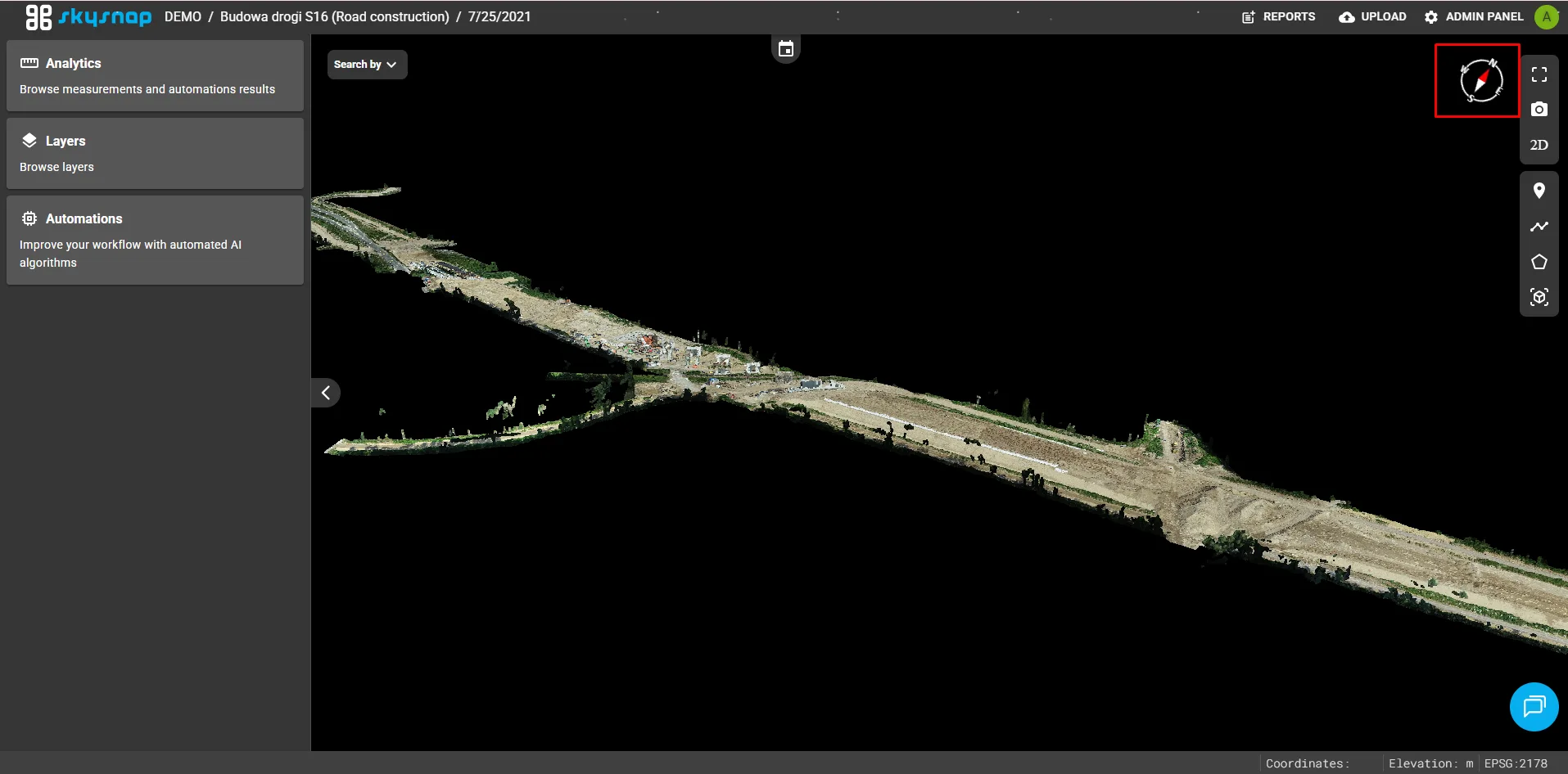
A compass has been added to the 3D view interface. This helps users maintain spatial orientation while navigating and analyzing 3D models.
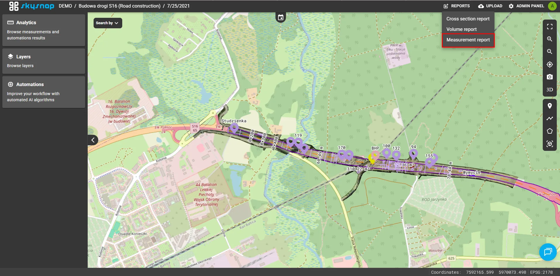
A new module has been added for generating and managing reports based on completed geometric measurements (pins, lengths, and areas). Users can now easily create, review, and export detailed measurement summaries for documentation and analytical purposes.
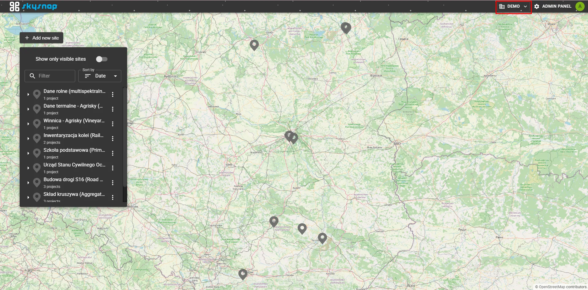
The active organization selector component has been moved from its previous location to the top navigation bar of the interface. This improves accessibility and makes it easier for users managing multiple entities to switch between organizations.
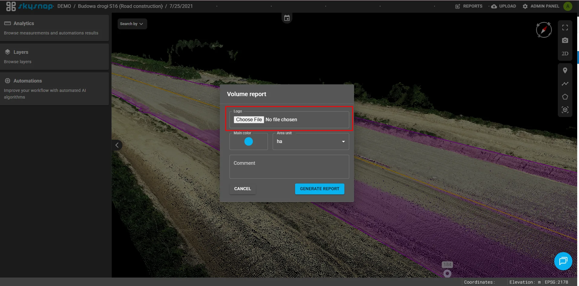
The option to add a custom logo to generated reports has been introduced. This allows documents to be personalized and helps maintain visual consistency.
Dynamic scaling of labels and pins has been implemented depending on the zoom level. This improves the readability of both 2D and 3D views, especially when zooming in or out significantly, by preventing oversized markers from obscuring objects.
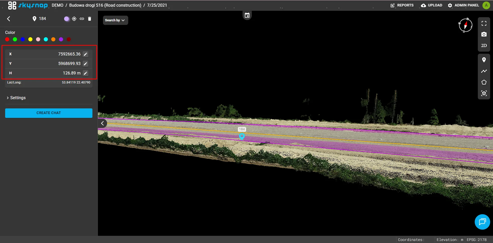
Users can now manually edit the coordinates and elevation of existing pins. This provides greater precision and flexibility when positioning reference points in both 2D and 3D views.
To celebrate Christmas, an interactive falling snow effect was added to the view, creating a temporary festive atmosphere. As part of a demonstration of new 3D visualization capabilities, an investment featuring a Christmas tree model presented simultaneously as a mesh and a point cloud was added to the DEMO organization, showcasing the technical capabilities of the application.