
Table of Contents:
Support for drone photos and 360 panoramas
Adding the export of measurement data to DXF and CSV files
Adding support for DXF files in 3D vector format
Adding a navigation bar for vector layers
Passing the map extent in a 3D link
Preserving the map extent when switching portal views
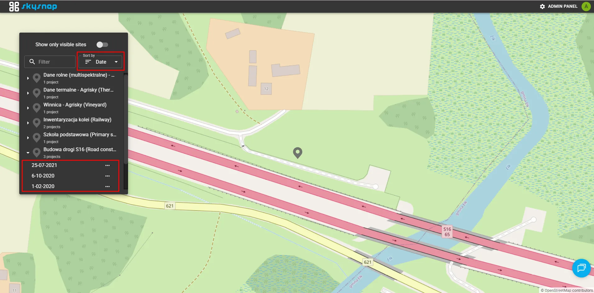
Changing the sorting order of projects and sites in the main panel
Ability to delete layers directly in the application
The portal now allows drone photos and interactive 360° panoramas to be displayed directly on the map. Icons indicating photo locations are visible in both the 2D view and the 3D point cloud view, making it easier to navigate the area and review visual materials.
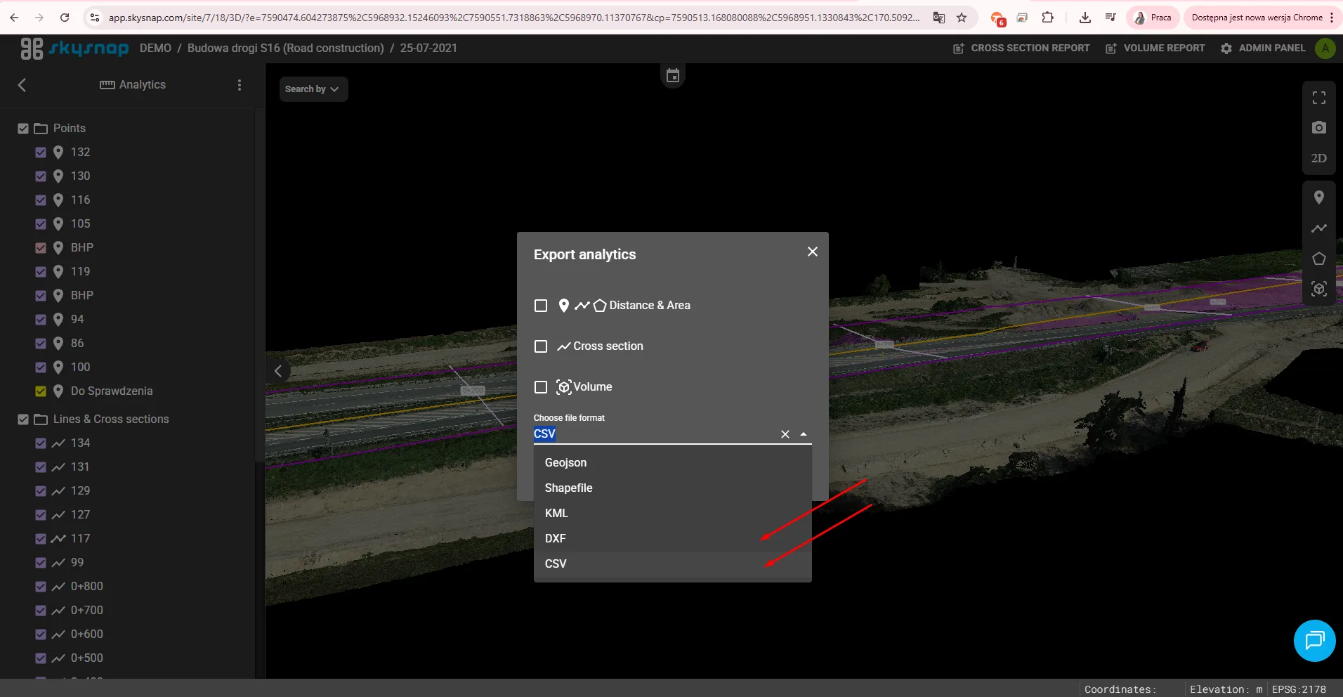
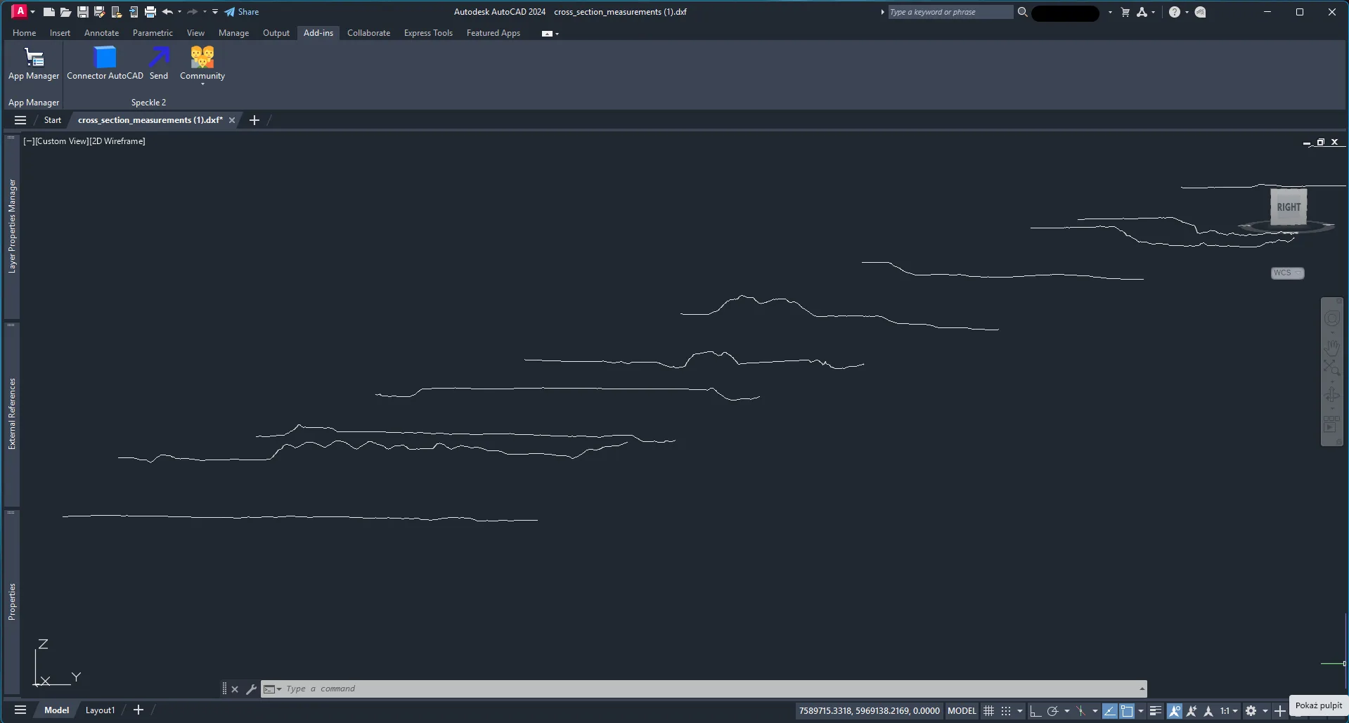
The ability to export measurement data in DXF and CSV formats directly from the application has been made available.
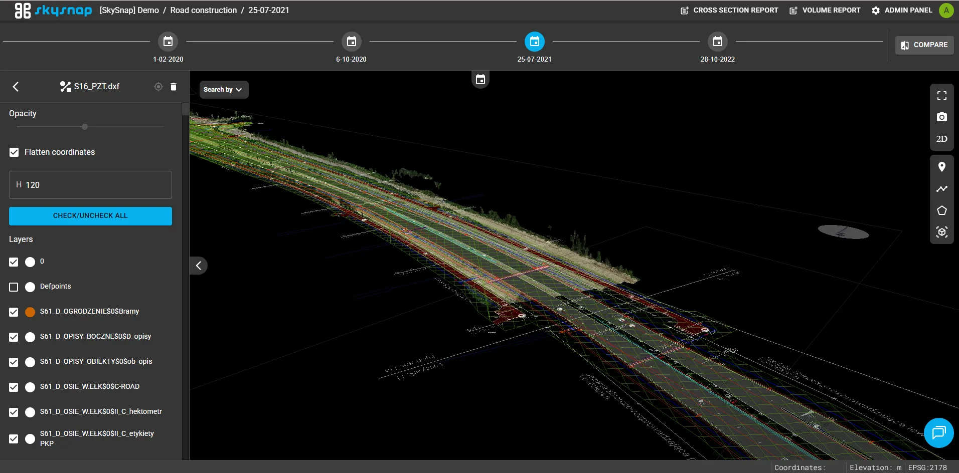
The ability to import and display DXF files in 3D vector format has been introduced in the application. Users can enable and disable individual layers of the uploaded file, as well as flatten the model or shift it by a selected height, which makes spatial data analysis and alignment easier.
A navigation bar has been added to the application to make it easier to search for elements on the map by selected layer and its attributes.
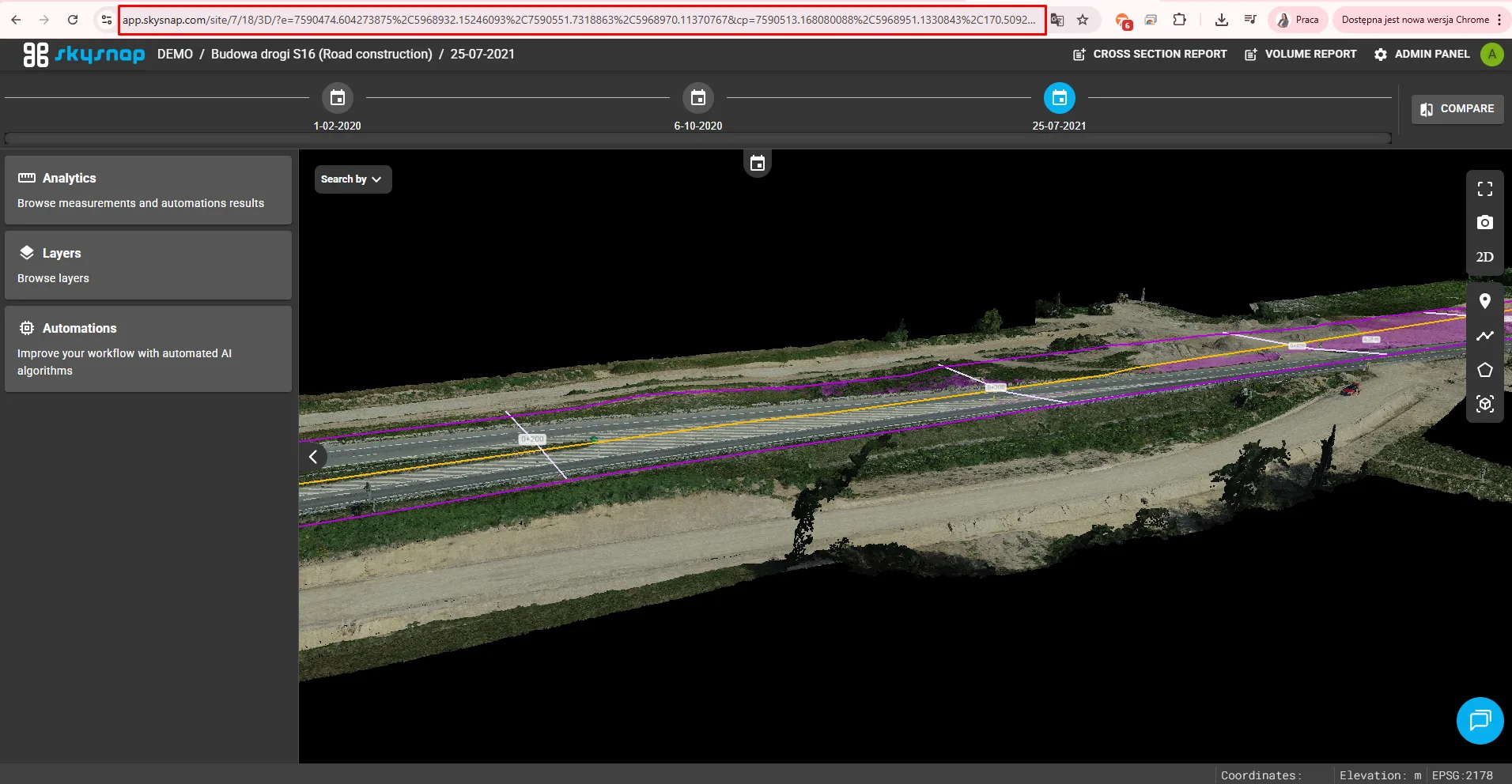
Users can now share links to the 3D view that preserve the current map extent and camera position. As a result, the recipient opens exactly the same spatial view as the sender, making collaboration and data presentation in the portal easier.
When switching between different portal views — for example, between the 2D map and the comparison or 3D view — the application automatically preserves the same map area. This makes using the portal smoother and more intuitive, without the need to search for the same location on the map again.
A default sorting method has been introduced, thanks to which investments with the newest projects are displayed at the top of the list. Projects within investments are also now ordered from newest to oldest, making it easier to quickly access current information.
.jpg?width=670&height=331&name=7-2%20(1).jpg)